关联文章:
C++ 比较好用的地图库 (尝试) QGeoView-CSDN博客
原程序:
cpp
/***************************************************************************
 * QGeoView is a Qt / C ++ widget for visualizing geographic data.
 * Copyright (C) 2018-2025 Andrey Yaroshenko.
 *
 * This program is free software: you can redistribute it and/or modify
 * it under the terms of the GNU Lesser General Public License as published by
 * the Free Software Foundation, either version 3 of the License, or
 * (at your option) any later version.
 *
 * This program is distributed in the hope that it will be useful,
 * but WITHOUT ANY WARRANTY; without even the implied warranty of
 * MERCHANTABILITY or FITNESS FOR A PARTICULAR PURPOSE. See the
 * GNU General Public License for more details.
 *
 * You should have received a copy of the GNU Lesser General Public License
 * along with this program; if not, see https://www.gnu.org/licenses.
 ****************************************************************************/

#pragma once

#include <QMainWindow>

#include <QGeoView/QGVMap.h>

class MainWindow : public QMainWindow
{
    Q_OBJECT

public:
    MainWindow();
    ~MainWindow();

private:
    QGVMap* mMap;
};
cpp
/***************************************************************************
 * QGeoView is a Qt / C ++ widget for visualizing geographic data.
 * Copyright (C) 2018-2025 Andrey Yaroshenko.
 *
 * This program is free software: you can redistribute it and/or modify
 * it under the terms of the GNU Lesser General Public License as published by
 * the Free Software Foundation, either version 3 of the License, or
 * (at your option) any later version.
 *
 * This program is distributed in the hope that it will be useful,
 * but WITHOUT ANY WARRANTY; without even the implied warranty of
 * MERCHANTABILITY or FITNESS FOR A PARTICULAR PURPOSE. See the
 * GNU General Public License for more details.
 *
 * You should have received a copy of the GNU Lesser General Public License
 * along with this program; if not, see https://www.gnu.org/licenses.
 ****************************************************************************/

#include "mainwindow.h"

#include <QTimer>

#include <QGeoView/QGVLayerOSM.h>
#include <helpers.h>

MainWindow::MainWindow()
{
    setWindowTitle("QGeoView Samples - basic");

    mMap = new QGVMap(this);
    setCentralWidget(mMap);

    Helpers::setupCachedNetworkAccessManager(this);

    // Background layer
    auto osmLayer = new QGVLayerOSM();
    mMap->addItem(osmLayer);

    // Show whole world
    QTimer::singleShot(100, this, [this]() {
        auto target = mMap->getProjection()->boundaryGeoRect();
        mMap->cameraTo(QGVCameraActions(mMap).scaleTo(target));
    });
}

MainWindow::~MainWindow()
{
}
cpp
/***************************************************************************
 * QGeoView is a Qt / C ++ widget for visualizing geographic data.
 * Copyright (C) 2018-2025 Andrey Yaroshenko.
 *
 * This program is free software: you can redistribute it and/or modify
 * it under the terms of the GNU Lesser General Public License as published by
 * the Free Software Foundation, either version 3 of the License, or
 * (at your option) any later version.
 *
 * This program is distributed in the hope that it will be useful,
 * but WITHOUT ANY WARRANTY; without even the implied warranty of
 * MERCHANTABILITY or FITNESS FOR A PARTICULAR PURPOSE. See the
 * GNU General Public License for more details.
 *
 * You should have received a copy of the GNU Lesser General Public License
 * along with this program; if not, see https://www.gnu.org/licenses.
 ****************************************************************************/

#include <QApplication>
#include <QCommandLineParser>

#include "mainwindow.h"

int main(int argc, char* argv[])
{
    QApplication app(argc, argv);
    app.setApplicationName("QGeoView Samples");

    QCommandLineParser parser;
    parser.addHelpOption();
    parser.addVersionOption();
    parser.process(app);

    MainWindow window;
    window.show();
    return app.exec();
}
存在问题:
cpp
    auto osmLayer = new QGVLayerOSM();
    mMap->addItem(osmLayer);
basic 示例 = 创建一个窗口 → 放一个地图控件 → 加一个 OSM 图层 → 缩放到全球视图
这个模式好像是损坏的,加载不出来,无法正常显示地图。
要不试试使用Google_HVBRID?
修改:
cpp
MainWindow::MainWindow()
{
    setWindowTitle("QGeoView Samples - basic");

    mMap = new QGVMap(this);
    setCentralWidget(mMap);

    Helpers::setupCachedNetworkAccessManager(this);

    // Background layer
    auto osmLayer = new QGVLayerOSM();
    mMap->addItem(osmLayer);

    // Show whole world
    QTimer::singleShot(100, this, [this]() {
        auto target = mMap->getProjection()->boundaryGeoRect();
        mMap->cameraTo(QGVCameraActions(mMap).scaleTo(target));
    });
}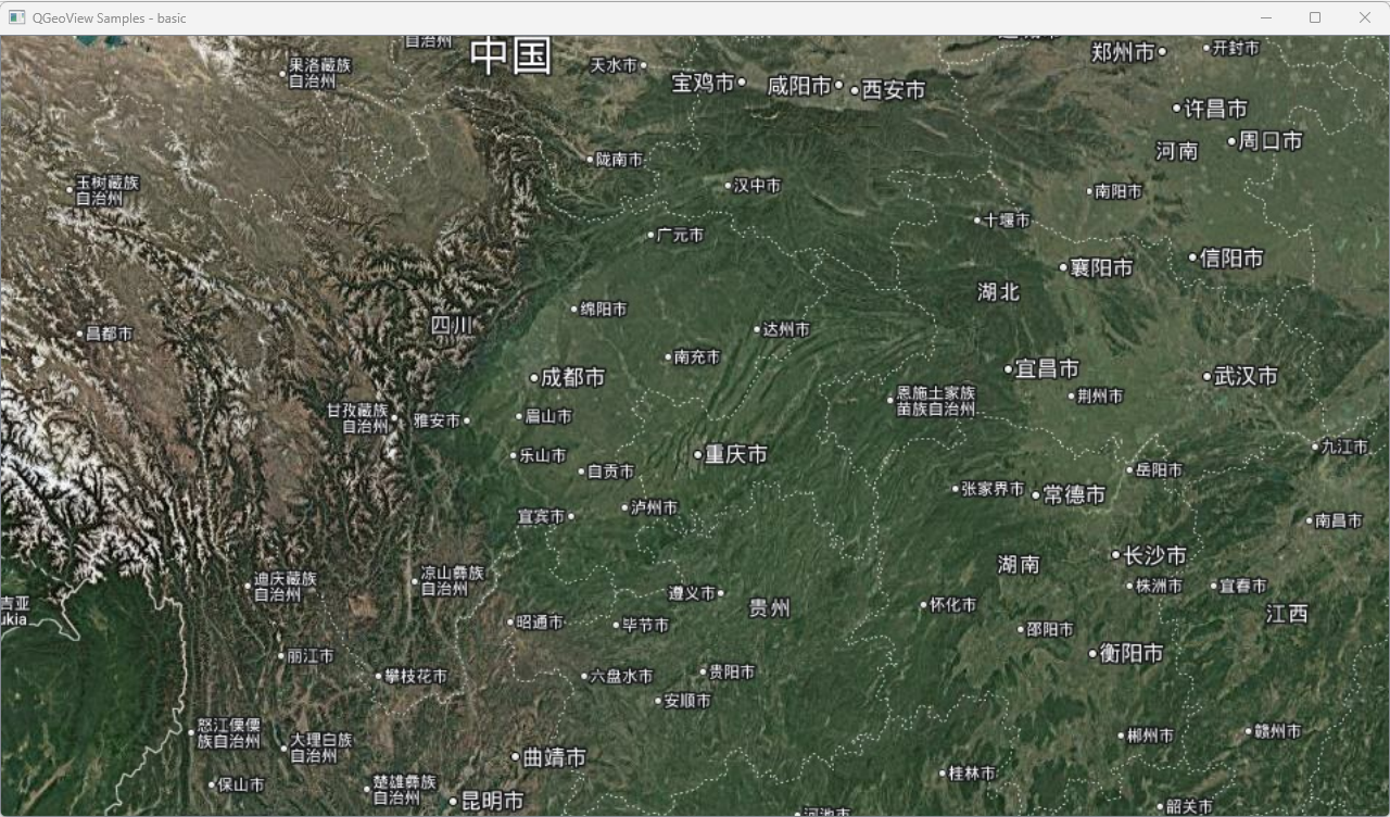
这版程序可以,我想再试试:Google_SCHEMA模式
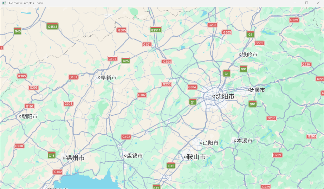
(街道图)模式
Google 的矢量街道地图(有道路、地名标注,没有卫星影像)
cpp
    // Background layer - Google Hybrid (satellite + labels)
    auto googleLayer = new QGVLayerGoogle(QGV::TilesType::Schema);
    mMap->addItem(googleLayer);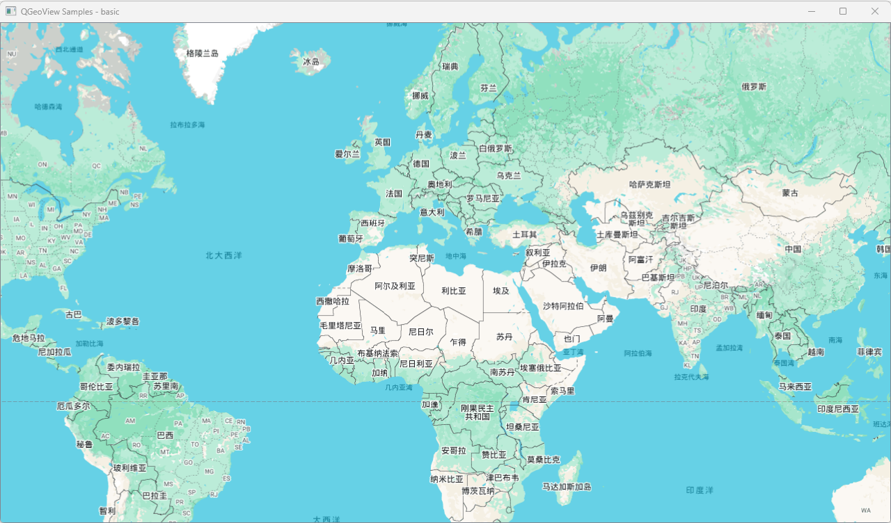
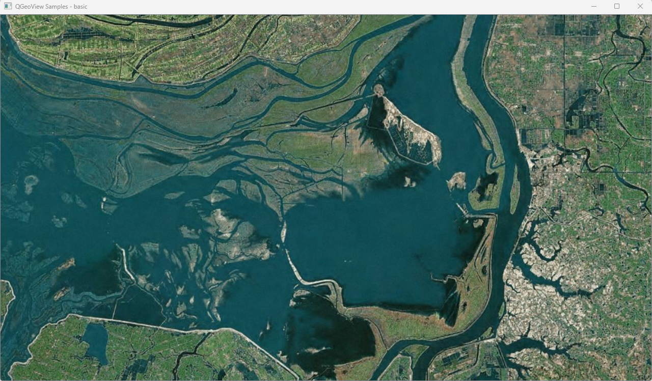
再试试BING_SATELLITE
显示 Bing Maps 的纯卫星影像(无文字标注)
cpp
    // Background layer - Bing Satellite
    auto bingLayer = new QGVLayerBing(QGV::TilesType::Satellite);
    mMap->addItem(bingLayer);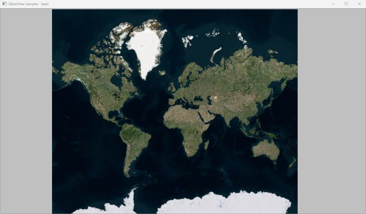
代码分析:
cpp
MainWindow::MainWindow(QWidget* parent) : QMainWindow(parent)
{
    // ① 创建地图控件
    mMap = new QGVMap(this);
    setCentralWidget(mMap);

    // ② 启用网络缓存(瓦片会缓存到磁盘,避免重复下载)
    Helpers::setupCachedNetworkAccessManager(this);

    // ③ 添加 OSM 背景图层
    auto osmLayer = new QGVLayerOSM();
    mMap->addItem(osmLayer);

    // ④ 相机缩放到全球范围
    auto target = mMap->getProjection()->boundaryGeoRect();
    mMap->cameraTo(QGVCameraActions(mMap).scaleTo(target));
}
这四步分别做了什么
| 步骤 | 代码 | 实际效果 |
|---|---|---|
| 1 | new QGVMap() |
创建一个基于 QGraphicsView 的地图控件,内部初始化了投影(EPSG:3857)、相机、根节点 |
| 2 | setupCachedNetworkAccessManager() |
给 QNetworkAccessManager 设置磁盘缓存目录,瓦片图片下载后会存到本地 |
| 3 | new QGVLayerOSM() + addItem() |
创建一个 OSM 在线瓦片图层,加入地图。图层会根据当前视野自动计算需要哪些 (z,x,y) 瓦片并下载 |
| 4 | cameraTo(scaleTo(target)) |
把相机调整到能看到整个世界的缩放级别(z=0,全球一张瓦片) |
运行后你看到什么
bash
┌──────────────────────────────────────────────┐
│  MainWindow (QMainWindow)                    │
│  ┌────────────────────────────────────────  │
│  │                                        │  │
│  │         QGVMap (QWidget)               │  │
│  │  ┌──────────────────────────────────┐  │  │
│  │  │  QGraphicsView                   │  │  │
│  │  │  ┌────────────────────────────┐  │  │  │
│  │  │  │  QGraphicsScene            │  │  │  │
│  │  │  │                            │  │  │  │
│  │  │  │  ┌─ QGVLayerOSM ──────┐   │  │  │  │
│  │  │  │  │  ┌──┐┌──┐┌──     │   │  │  │  │
│  │  │  │  │  │瓦││片││  │ ... │   │  │  │  │
│  │  │  │  │  └──┘└──┘└──┘     │   │  │  │  │
│  │  │  │  └────────────────────┘   │  │  │  │
│  │  │  └────────────────────────────┘  │  │  │
│  │  └────────────────────────────────┘  │  │
│  └────────────────────────────────────────┘  │
└──────────────────────────────────────────────┘一个窗口,里面显示一张世界地图(OSM 的 z=0级别,就是一张 256×256 的瓦片拉伸到全屏)。