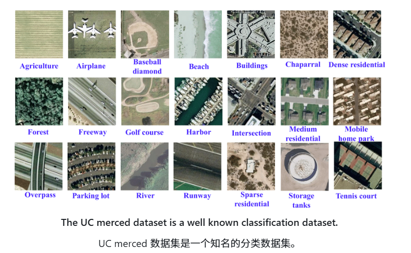
Deep learning has revolutionized the analysis and interpretation of satellite and aerial imagery, addressing unique challenges such as vast image sizes and a wide array of object classes. This repository provides an exhaustive overview of deep learning techniques specifically tailored for satellite and aerial image processing. It covers a range of architectures, models, and algorithms suited for key tasks like classification, segmentation, and object detection.
参考:https://github.com/satellite-image-deep-learning/techniques
深度学习彻底改变了卫星和航拍影像的分析与解读,解决了巨大的图像尺寸和多样化的对象类别等独特挑战。本库提供了专为卫星和航拍图像处理量身定制的深度学习技术的详尽概述。它涵盖了一系列适合分类、分割和物体检测等关键任务的架构、模型和算法。